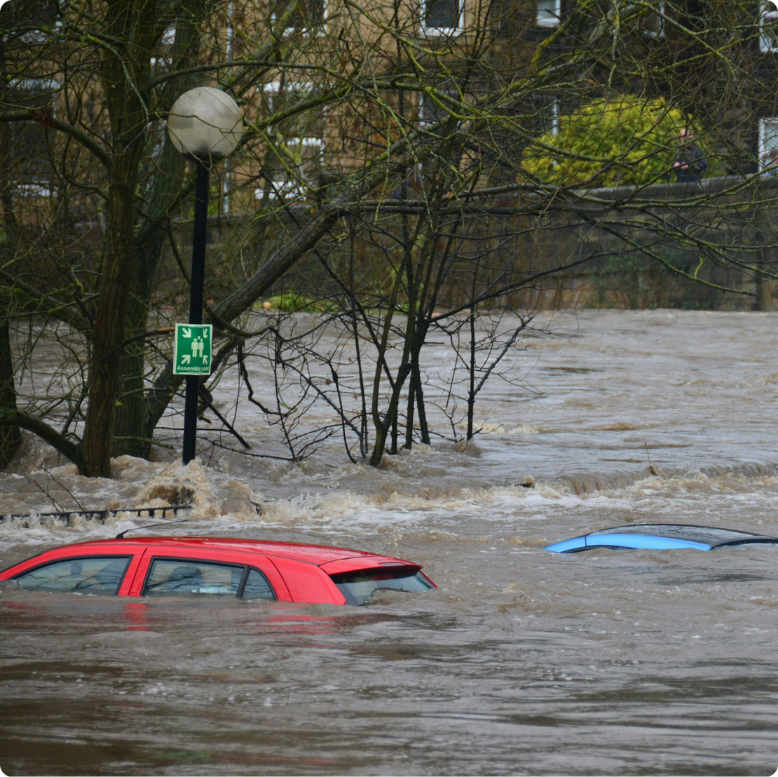
Working with Flooded People to reach communities vulnerable to flooding
In autumn 2025, Weathering worked with Flooded People on a National Lottery funded project to help them reach the most vulnerable potential flood victims in areas that were likely to be subject to flooding.
The project builds on the work of the Climate Just resource and website, developed by Joseph Rowntree Foundation and University of Manchester and others, which was last updated in 2017.
Flooded People are organising flooded and potentially flooded communities in six cities across England and Scotland. They wanted to be able to find people who were at medium or high risk of flooding, who would be particularly vulnerable to the impacts of flooding. Weathering worked with them to develop a set of maps that allows community organisers to understand the locations of flood zones and communities particularly susceptible to flooding. These maps were developed for active use by community organisers, so it was particularly important that the outputs were easy to use and reasonably familiar to them. We decided to use GoogleMaps as platform to share the maps, as it is such a familiar platform and the app can be used on any smartphone to help organisers navigate communities with clear guidance about where vulnerable potential flood victims can be found.
The maps we developed can be found here:
Details for how we developed them are available on Github